LDS Launches New Development Tracker GIS ApplicationLand Development Services’ (LDS) Development Tracker is a new interactive map that makes it easy to see what’s being built in your community. Residents can search by address to view active construction sites, recent building permits, zoning applications, comprehensive plan amendments and certificates of occupancy. The Development Tracker helps you stay informed about nearby development, understand how your neighborhood is changing, and access key land development information. Please visit the LDS Geographic Information Systems (GIS) homepage to access the Development Tracker and all LDS GIS applications. 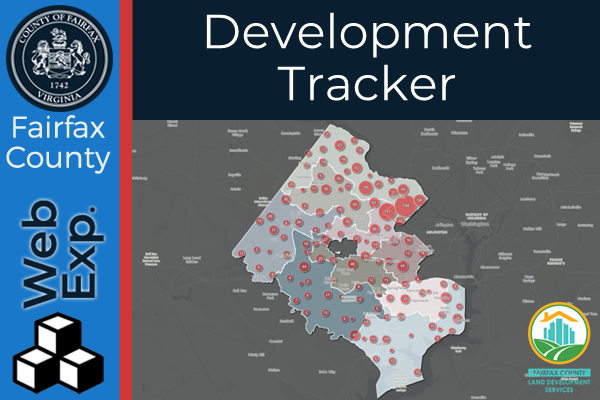 |






0 comments:
Post a Comment